The Mammoth Nordic Application was designed to provide accurate up-to-date information to the park users which would allow them to make decisions about where and when to use the park, determine distances or conditions of trails, current weather, detailed trail terrain map and learn more about the Mammoth Nordic Foundation who ultimately supports the club.

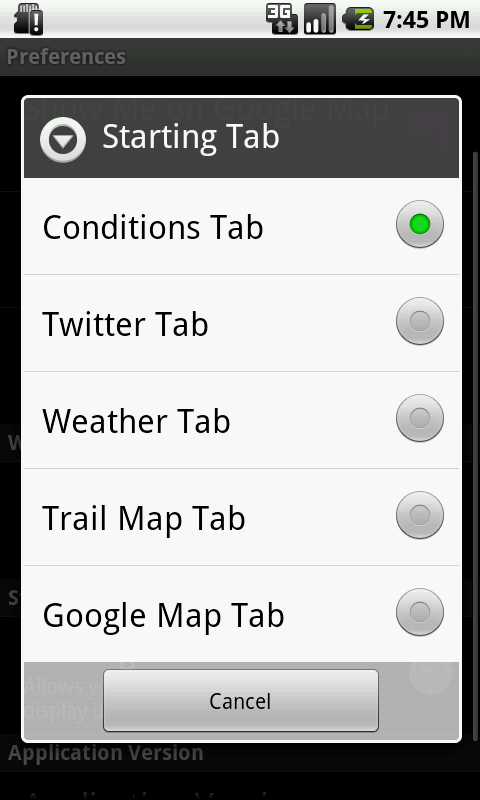
Features of version 1 are as follows:
Version 1.0
- Tab layout with four tabs
- Conditions Tab
- Content for this tab is obtained from the Mammoth Nordic web site and will be updated daily with trail conditions and any other important trail information.
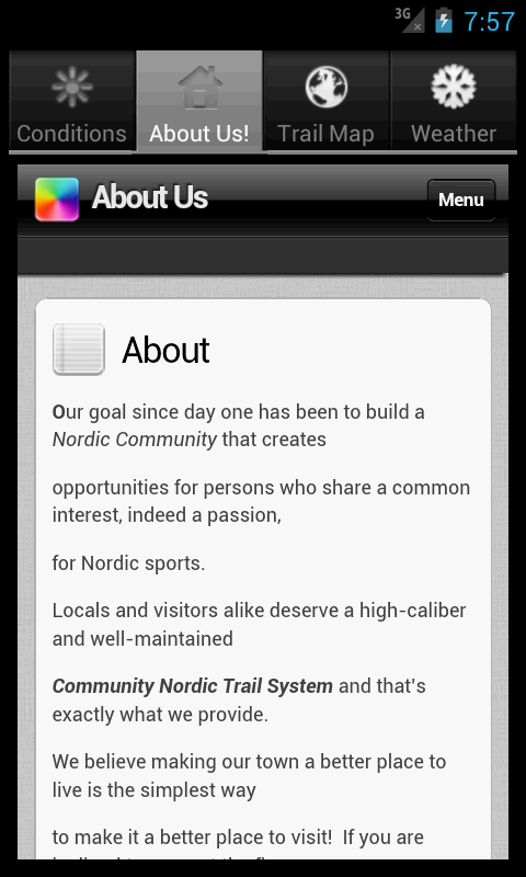
- About Us! Tab
- This tab will provide information about the Mammoth Nordic Club and provide links to how users can support the club by donations or membership.
- Trail Map Tab
- This tab contains a trail image showing the trails and boundaries. This tab can be accessed even if the phone does not have any cell coverage.
- Weather Tab
- This table contains weather forecast from the NOAA for Mammoth Lakes California
Tab Examples:
Conditions Tab:

Trail Map Tab:

Weather Tab:

The application is easy to use, when launched it will display the conditions tab first, you can then press other tabs as you like. For pages with extra content you can use your finger to scroll around, pinch to make smaller etc. you can exit the application by pressing your home button or pressing the back key. Any comments or enhancements you would like to see in the application feel free to contact me and I will discuss them with the Mammoth Nordic Club.
For the next release I am working on added a Google Map option. The Club bas all the trails stored in a Google Earth format which I would like to embed into the application so you would be able to see the map and trails from the Google Earth perspective, this will be really cool!